In this post, we have collected some interesting metro map designs around the globe. These maps show the infrastructure of the city; each city is different from another because of the look, feel, regional culture, typography and many other things. These maps would be helpful for you in exploring these differences and would also come handy when you want to find out any place in the city. As designer, you can also learn a bit or two about wayfinding graphics when analyzing these designs. So, here’s the inspiring compilation of metro maps from around the world.
【訳】
世界中の興味深い地下鉄マップデザインを集めました。
それぞれの都市は見た目や文化がそれぞれ違いますから、マップにもその特徴が出ていますし、印刷方法やその他いろいろな要因も違います。
これらのマップは都市それぞれの違いを見つけるのにとても役に立ちますし、もちろん場所・地域を見つけるのにも使えます。
デザイナーとしては、これらのデザインを解析することで、ナビゲーションデザインを学習することが出来ます。
すばらしい編集技法を使った世界の地下鉄マップを見てみましょう。
フランス・パリ
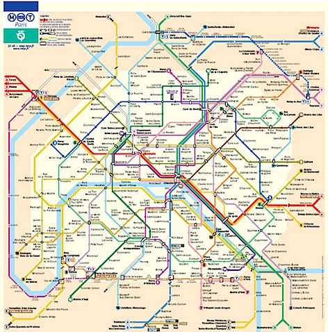
ロンドン
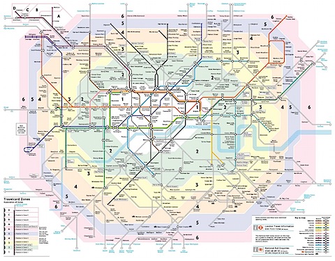
ドイツ・ベルリン
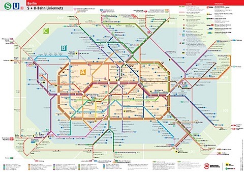
ニューヨーク
意外と密度が薄い感じがします。
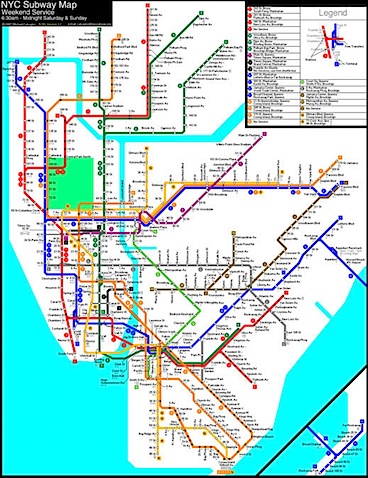
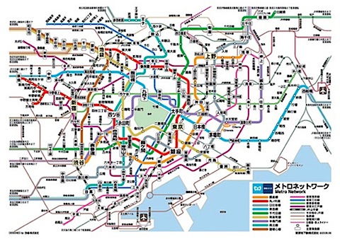
東京
やっぱり濃いですねー。
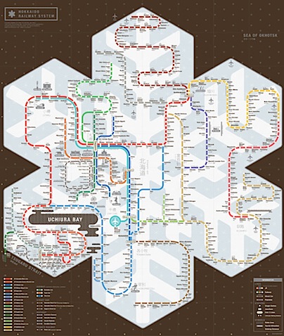
札幌
いい味出してます。
ほかにもいっぱいありますので以下からどうぞ。
Metro and Underground Maps Designs Around the World – Noupe Design Blog
http://www.noupe.com/inspiration/metro-and-underground-maps-design-around-the-world.html


へ〜色々ありますね〜
結構こう言うMap作るの大変なんだよな。
ですよねー。
全体の構成を考えて作らないといけないから難しそうですね。